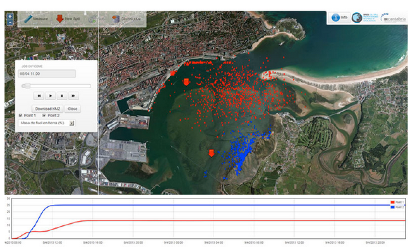
Santander Bay
0 Comment
A high resolution (20 m) forecasting system is being developed for Santander Bay. The system receives daily meteorological and ocean forcings from European and Spanish organizations and provides three day forecasts of sea level, currents, salinity and temperature based on numerical modeling. The OOS is being implemented into a web application that will allow end users to easily access the forecast and, in case of pollution threat, launch an oil spill transport model to estimate the oil spill trajectories and fate.


